

Description
2D Power Drafting & 3D Modeling Enterprise Grade CAD Software with Perpetual Licensing
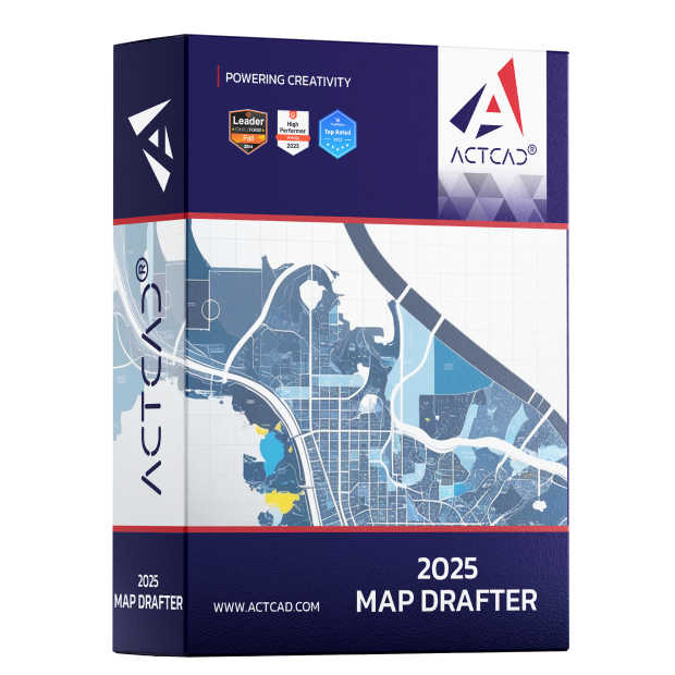
What is ACTCAD 2025 Map Drafter?
ACTCAD 2025 Map Drafter is your powerful and cost-effective answer for cartography and map creation in 2D.

2D Drafting
Includes all the 2D drafting and design features you would expect, plus image calibration, local language text features, map view and flow directions, profiles, image markers, map cleanup, ESRI shape export, and much more
Map Drafter Users
Caters to the needs of cartographers, urban planners, architects, civil engineers, surveyors, and GIS professionals enabling users to create intricate maps with ease, ensuring precision and accuracy in map creation
File Compatibility
ACTCAD Map Drafter is compatible with industry-standard file formats such as DWG, DXF, and SHP, ensuring seamless integration with existing workflows and compatibility with other CAD software
Why use ACTCAD 2025 Map Drafter?

Powering your Creativity
Innovate, design, and deliver with advanced cartography and map creation capabilities, ensuring precision and accuracy in map creation

Enterprise-Ready, Budget-Friendly
Affordable pricing and novel licensing options with no compromise on power, scalability, or reliability

Unleash Instant Productivity
ACTCAD Map Drafter builds on the IntelliCAD engine with advanced tools and ensures seamless compatibility across industry formats

ACTCAD 2025 Map Drafter Features
A glimpse of ACTCAD 2025 Map Drafter features for ensuring precision and accuracy in map creation
Map Pdf
Exports map drawings or layouts to PDF format to share or distribute map data and designs
Image Calibrate
Precise scaling and alignment of raster images by assigning real-world coordinates to known reference points
Map Number Count
Enumerates the total number of map elements or features within a specified area or category to provide quantitative info. on the distribution and density of map data
Map Markers
Symbols used to represent specific points of interest, locations, or features within a map drawing
Map Clean
Optimizes map data by removing duplicates, simplifying geometry, and correcting topology issues, ensuring high-quality and organized geographic datasets
Centroid
“Centroid” refers to the geometric center point of a polygonal feature within a map drawing. It assists in defining the polygon’s boundary and for spatial analysis, labeling, or as a reference point in GIS
Image Boundary
Refers to the perimeter or outline of a raster image or scanned map within the drawing environment. Delineates the extent of the image and is often used for spatial reference and analysis in mapping applications
Flow Direction
Typically used in GIS applications for analyzing the direction of flow in a surface, such as water flow in a terrain model or drainage analysis.
4 Point Image Rectification
Converts images to a standard map coordinate system and merge images taken from multiple perspectives into the common map coordinate system.
Map Direction
Indicates the direction in which features are positioned relative to a reference point or axis, aiding in navigation, analysis, and interpretation of spatial data
Map Number Sries
Sequential numbering system applied to map features or elements within a drawing. Help organize and identify different components of the map, facilitating data management.


Reviews
There are no reviews yet.